The purpose of the conference is to exchange research results on the application of geographic information systems (GIS), remote sensing (RS), global positioning systems (GPS), unmanned aerial vehicles (UAV) and artificial intelligence (AI) in resource and environmental management; improve the capacity to apply these technologies in state management, teaching, and scientific research in the context of the government promoting digital transformation and digital economy.
    |
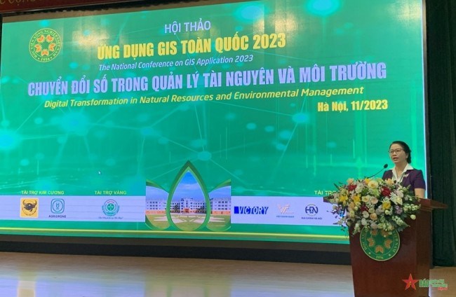 |
| Professor, Dr. Nguyen Thi Lan, President of Vietnam National University of Agriculture, gave the opening speech at the conference. |
Professor, Dr. Nguyen Thi Lan, President of Vietnam National University of Agriculture, said: In the current period, the development of GIS, RS and GPS has opened up many application directions in many fields of science and management, especially in the field of natural resources and environment. The use of geographic information system data integration technology, remote sensing, and global positioning system data integration technology allows the creation of a solution to update, build data, analyze fluctuations effectively, and support quick decision-making on a large scale with the cheapest price compared to traditional measures in the field of land management, environmental resources.
"In order to respond promptly and effectively to the context of the country's transition to a digital and green economy, human resources training is of key and decisive significance. From the perspective of training high quality resources in the direction of sustainable development, digital economy and green economy, the university is always ready to accompany universities, research institutes, the Ministry of Natural Resources and Environment, localities and businesses in planning, training human resources, organizing and implementing activities with businesses and local; especially in the field of GIS, land management, natural resources and environment" - Professor, Dr. Nguyen Thi Lan also mentioned!
The development of GIS, RS, GPS, UAVs and AI has opened many application directions in many fields of science and management, especially in the field of natural resources and environment.
At the conference, experts and scientists focused on sharing content related to the application of GIS, GPS and remote sensing in environmental resource management; land management, urban management, technical infrastructure, medical field and public health care; Research climate change, support natural disaster prevention and mitigation, etc.
---------------------------------------------------------------------------------------------------------------------------------
Over the past 67 years, Vietnam National University of Agriculture has trained more than 13,000 engineers in land management, environmental resources; more than 1,200 agrochemical and soil engineers; more than 2,600 bachelors in environmental science for the country. For postgraduate training program in land management and environmental science, the university has trained 3,149 masters and 113 doctors. In the field of applying 3S and UAV technology in natural resources and environment, the Faculty of Natural Resources and Environment has led and participated in more than 36 state-level projects, more than 100 ministerial and provincial- level talking point; hundreds of grassroots-level subjects and projects to transfer science and technology into production in most provinces and cities nationwide.